
10 Best Road Trips

Oyggjarvegur: Norðradalsskarð, Mjørkadalur, and Sornfelli (Streymoy)
Approx. 14 km (9 miles) from Tórshavn. Note that roads might be slippery in winter.
This is no. 1 on the list for two simple reasons. First: The road Oyggjarvegur is en route Tórshavn. Second: Stopping at these three places will get you astonishing photos of the most iconic views in the Faroes. No filter needed.

Argja Skúli (Streymoy)
Approx. 4 km (2.5 miles) from Tórshavn
This parking lot outside the school in Argir is not that old, but immediately became renown amongst the locals for its panorama-view of Tórshavn. Seeking a little intimacy with your special someone? Make this your getaway place.

Tjørnuvik (Streymoy)
52 km (32 miles) from Tórshavn
The sandy beach and two sea stacks Risin og Kellingin (The Giant and the Witch) are what draws people to Tjørnuvík. Go there in midsummer and experience a real life impression, soleil levant while the sun rises behind the two.

Bøur and Gásadalur (Vágar)
57 km (35 miles) from Tórshavn
Bøur and Gásadalur could just as easily had made it no. 1 on the list. Driving westwards through Sørvágsfjørður is a sight to behold. The jagged islet of Tindhólmur, the island of Mykines, and, of course, the world famous waterfall in Gásadalur: Múlafossur.

From Eiði to Funningur (Eysturoy)
51 km (32 miles) from Tórshavn (to Eiði)
The road between Eiði and Funningur is where the most majestic views are to be seen in the Faroe Islands. These two villages lie at the foot of two of the highest mountains in the Faroes: Slættaratindur 880 m and Gráfelli 856 m.

Klakkur (Borðoy)
77 km (48 miles) from Tórshavn – plus walking distance approx. 1.5 km (0.9 Miles)
Klakkur means projecting rock and is the first component part of the name Klaksvík. From the top of Klakkur you will have a bird's-eye view of many of the northern islands. Please remember to show respect to nature and wildlife.

Múli (Borðoy)
91 km (57 miles) from Tórshavn
Once home to the sorcerer Guttormur í Múla … This is the dark north, where the mountains are towering to the sky. There is not much to do in this abandoned village, but if you were seeking a place to get lost from it all – this is it.

Søltuvik (Sandoy)
Ferry from Gamlarætt to Skopun: 30 minutes.
14 km (9 miles) from Skopun
With its green landscape and curvy hills, Sandoy is the feminine island of the Faroes, according to Faroese author Heðin Brú. Søltuvík is a beautiful bay on the west coast. Go there for the wildlife, tranquility, and fresh air.

Vágur (Suðuroy)
Ferry from Tórshavn to Drelnes: 2 hours
17 km (11 miles) from Drelnes
Skip the tunnels and take the old mountain roads because Suðuroy has a bit of everything. Rugged mountains. Lush valleys. From Vágur drive here: Ryskivatn, Vesturi á Eiðinum, and – if you dare – the old road up to Eggjarnar.
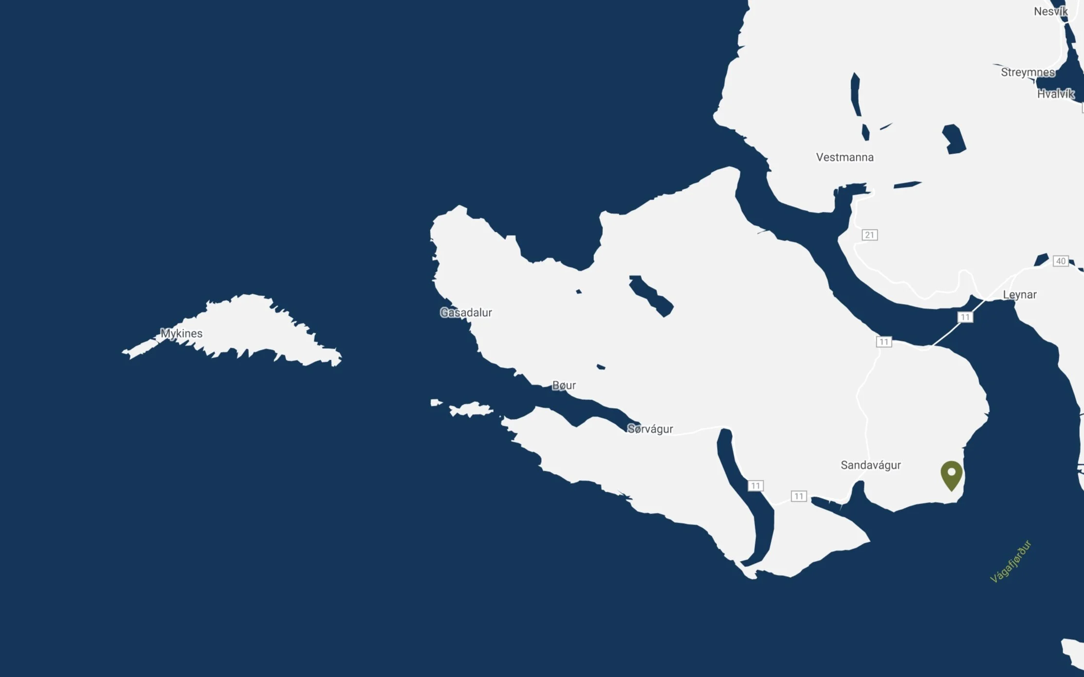
Trøllkonufingur (Vágar)
39 km (24 miles) from Tórshavn – plus walking distance approx. 200 m (0.13 Miles)
Trøllkonufingur (The witch's finger) is a monolith out of the ordinary. Legend has it the sun turned the witch to stone, so she fell to the ocean with only her finger clinging on to land. When you reach the end of the road it is only a quick 10 min hike.